George was always the insider/outsider. He knew everybody but behaved differently than anybody. He often spoke the unspeakable and contradicted the acceptable. No doubt, this one of the reasons that I always sought his company at Barnstable parties, that and he was always good for a smoke (although I haven’t smoked in years).
George was always a mentor to me. He was a fantastic artist, and I am proud to have pieces of his art in my house. His love of fishing for stripers with a fly rod is a tradition that I have carried on because George taught me that catching a fish on fly that you tied is so much better than catching a fish on bait or some store-bought plastic lure. I know that when I cast my fly into Barnstable Harbor I am following in the tradition of George Warren, one of the early saltwater fly anglers.
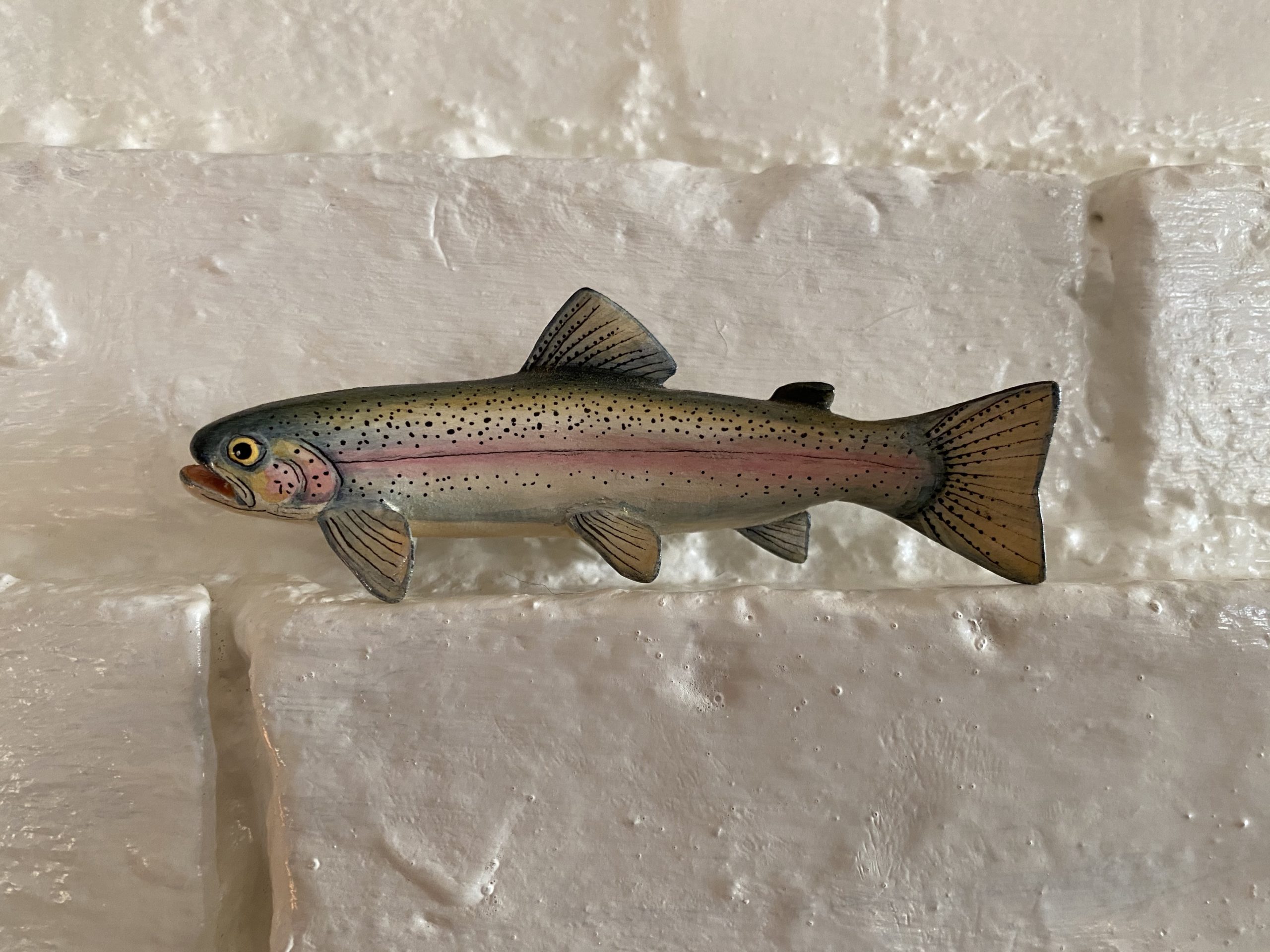
Many of my friends have treasured pieces of George’s art in their homes. I have a beautiful carving of a rainbow trout (see above) as well as a detailed water color. George is known for his beautiful coffee tables featuring a glass case containing his meticulous carvings.
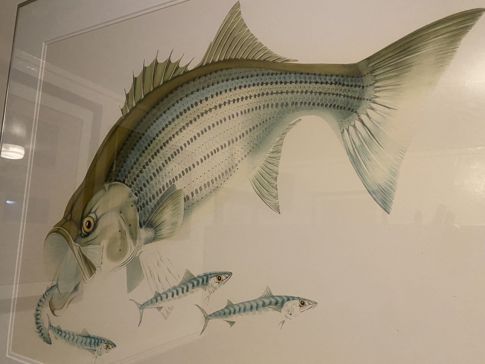
Nevertheless, George’s most well known piece of art, one that has been viewed by many men (and very few women), is the striped bass painting that hangs (to this day) in the men’s room at the Dolphin Restaurant here in Barnstable Village.
-Avery Revere, Fly Fishing Guide BH
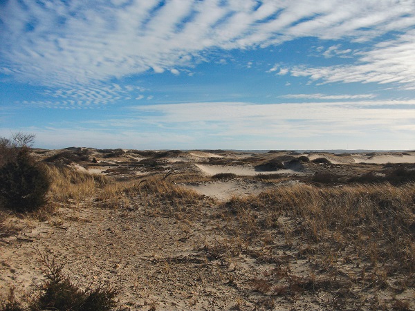
Long before European settlement, the Wampanoag ("People of the First Light") used Sandy Neck as a seasonal coastal resource, utilizing its rich tidal waters, dunes, and marshes for fishing, digging shellfish, and gathering native plants. Archaeological sites on the barrier spit preserve this deep indigenous history.

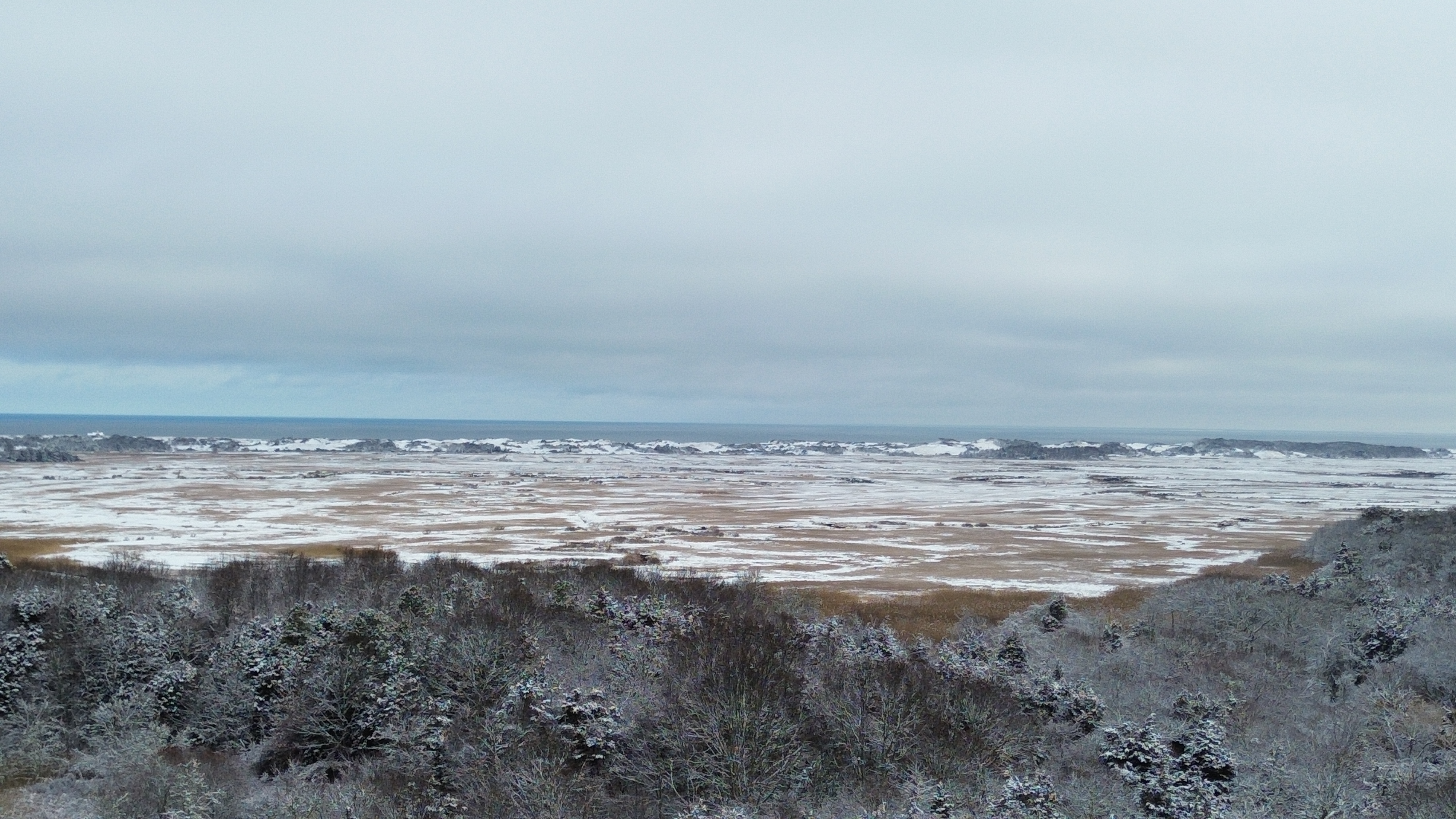
Areas of Critical Environmental Concern (ACECs) are places such as Sandy Neck/Barnstable Harbor that receive special recognition because of the quality, uniqueness and significance of their natural and cultural resources.
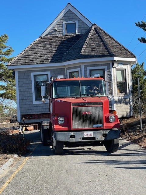
The Sandy Neck Beach Long-Term Coastal Resiliency Project represents the culmination of nearly a decade of planning, scientific analysis, design, permitting, and community engagement.
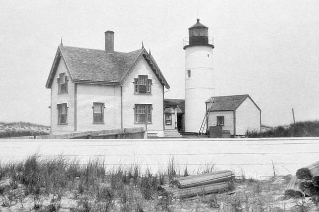
Sandy Neck Light, also known as Beach Point Light or Barnstable Light, is one of the pre-eminent historical landmarks of Barnstable Harbor. It is a favorite subject of local artists and images of the tower and the keeper’s dwelling grace the walls of many houses and public buildings around our town. Click here to read Ken Morton's complete history of this iconic structure.
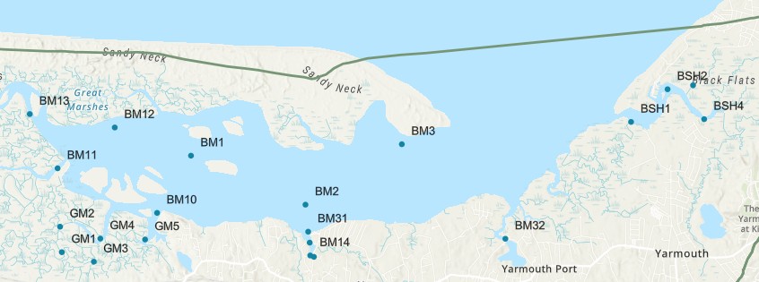
The Cape Cod Water Quality Data Portal is a map-based viewer that allows users to explore freshwater and marine water quality data compiled by the Cape Cod Commission for our regional partners. Data and trends can be viewed by monitoring site, pond, or embayment.
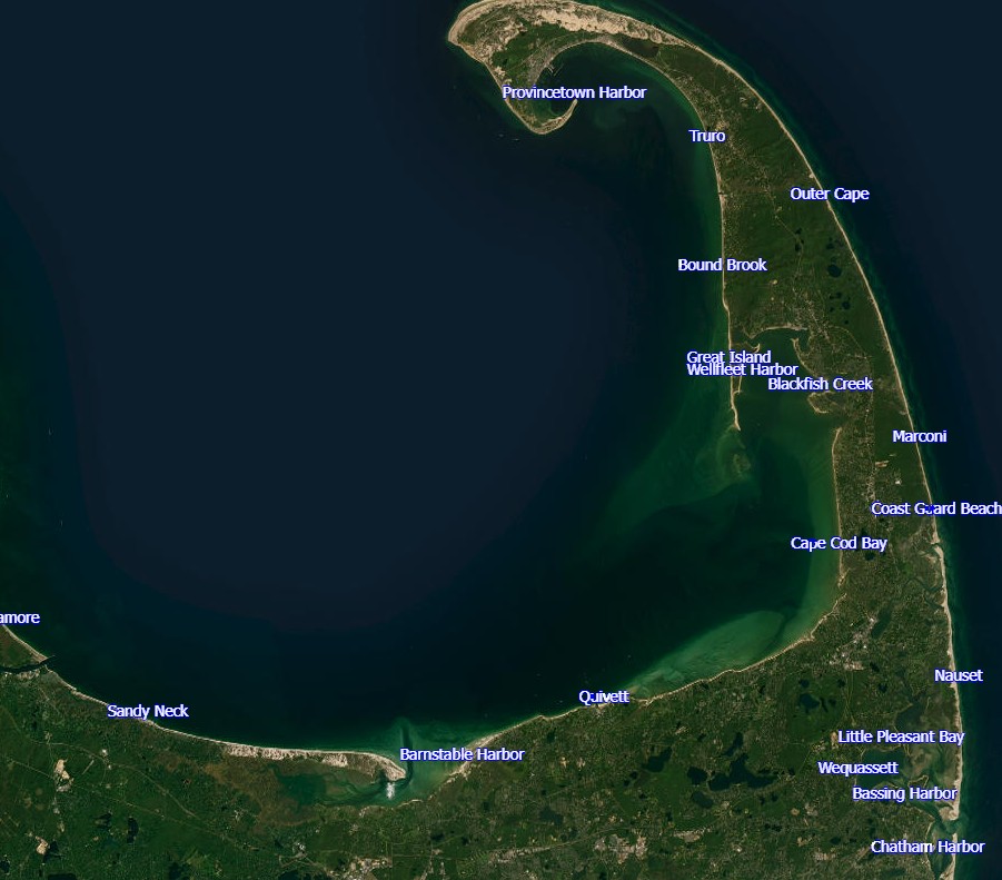
The Cape Cod Coastal Planner is a communication and decision support tool intended to educate users on the climate change hazards impacting Cape Cod's coastline, the adaptation strategies available to address them, and implications for local infrastructure and ecosystems. Choose your location and zone of impact to begin planning. View planning layers and test adaptation strategies for three coastal hazards.
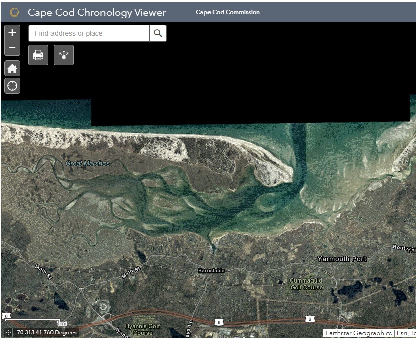
The Cape Cod Commission’s Chronology Viewer allows users to understand past land use and observe how the region has changed over time.
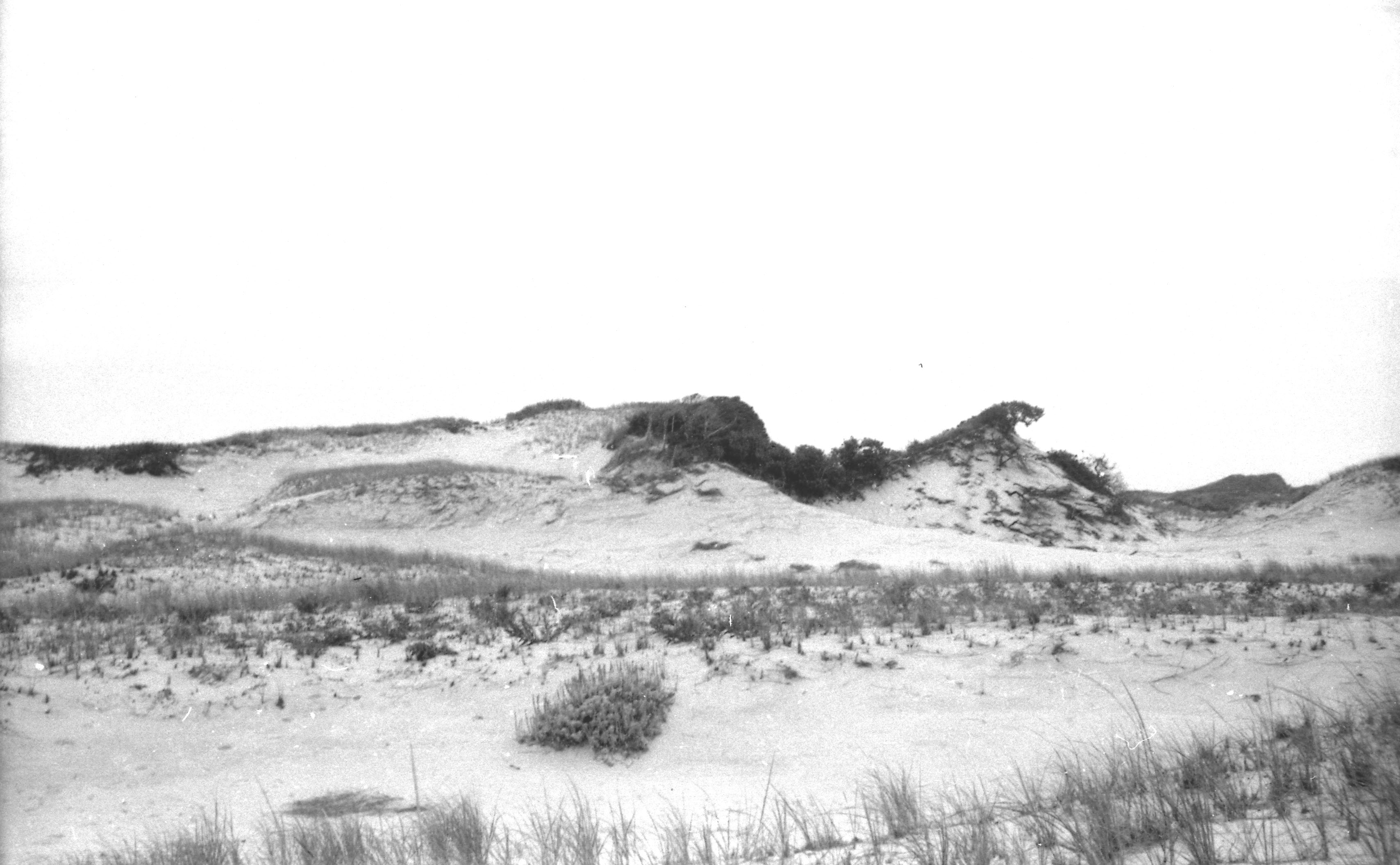
Of the many geographic features for which Cape Cod is known, one of the most distinctive, best known, and aptly named is Sandy Neck. The Great Marshes, contained within the eastward reach of Sandy Neck also hold a high rank, but for this column the Neck itself is in focus. Click below to read read reminiscences on growing up near Sandy Neck in the 1950s, from the Sandwich Enterprise.
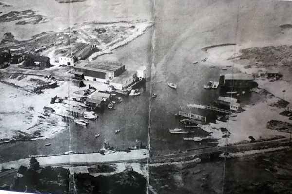
Barnstable Harbor’s working waterfront has evolved from a hub of fishing, trade, and industry to a quieter but enduring maritime community, where a handful of fishermen and families continue traditions that have shaped the harbor for generations.
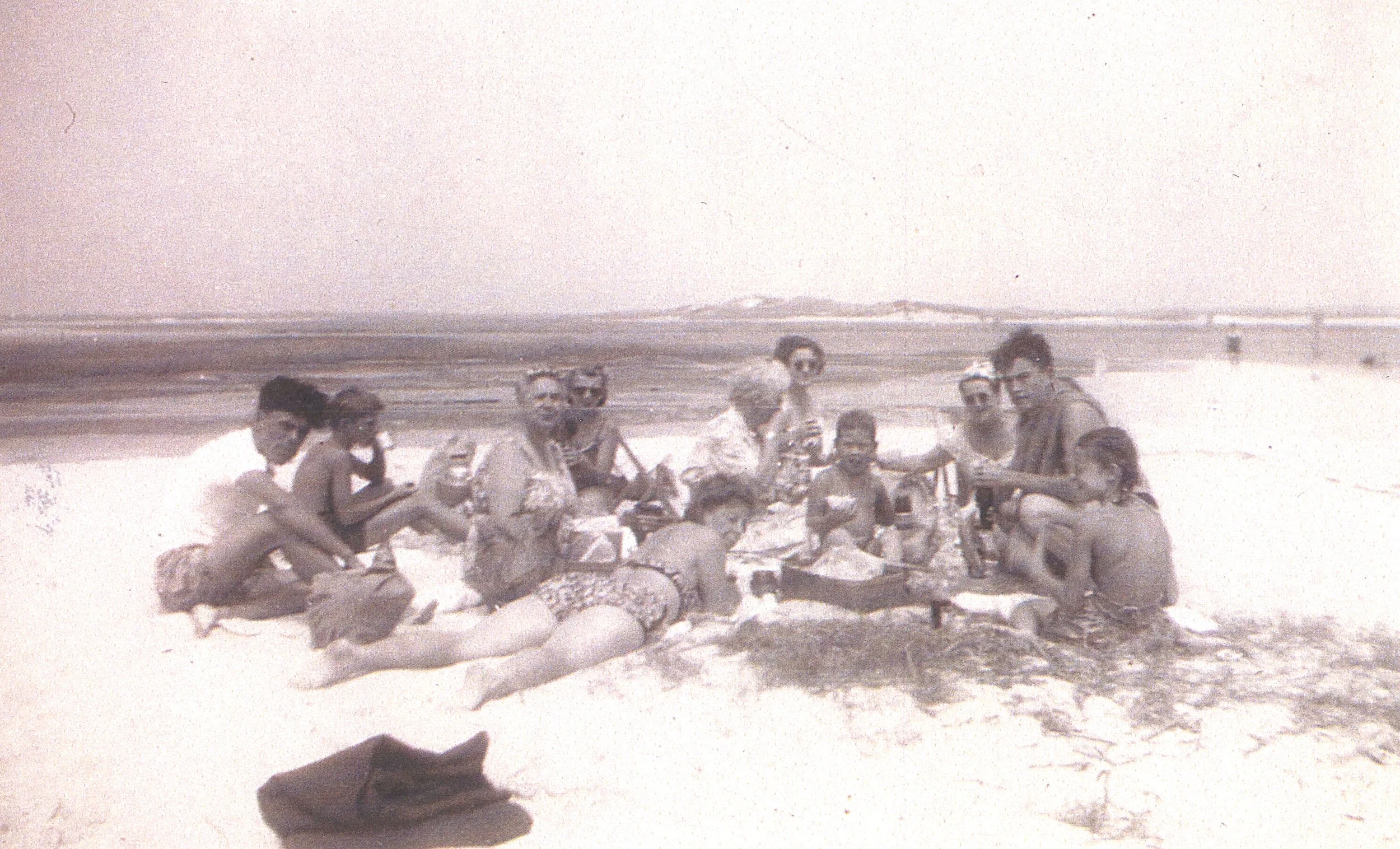
The “clam factory” at Bass Hole reflects centuries of coastal use—from Indigenous shellfishing and colonial shipbuilding to modern aquaculture—where today’s operations continue a long tradition of harvesting and cultivating the harbor’s natural abundance.
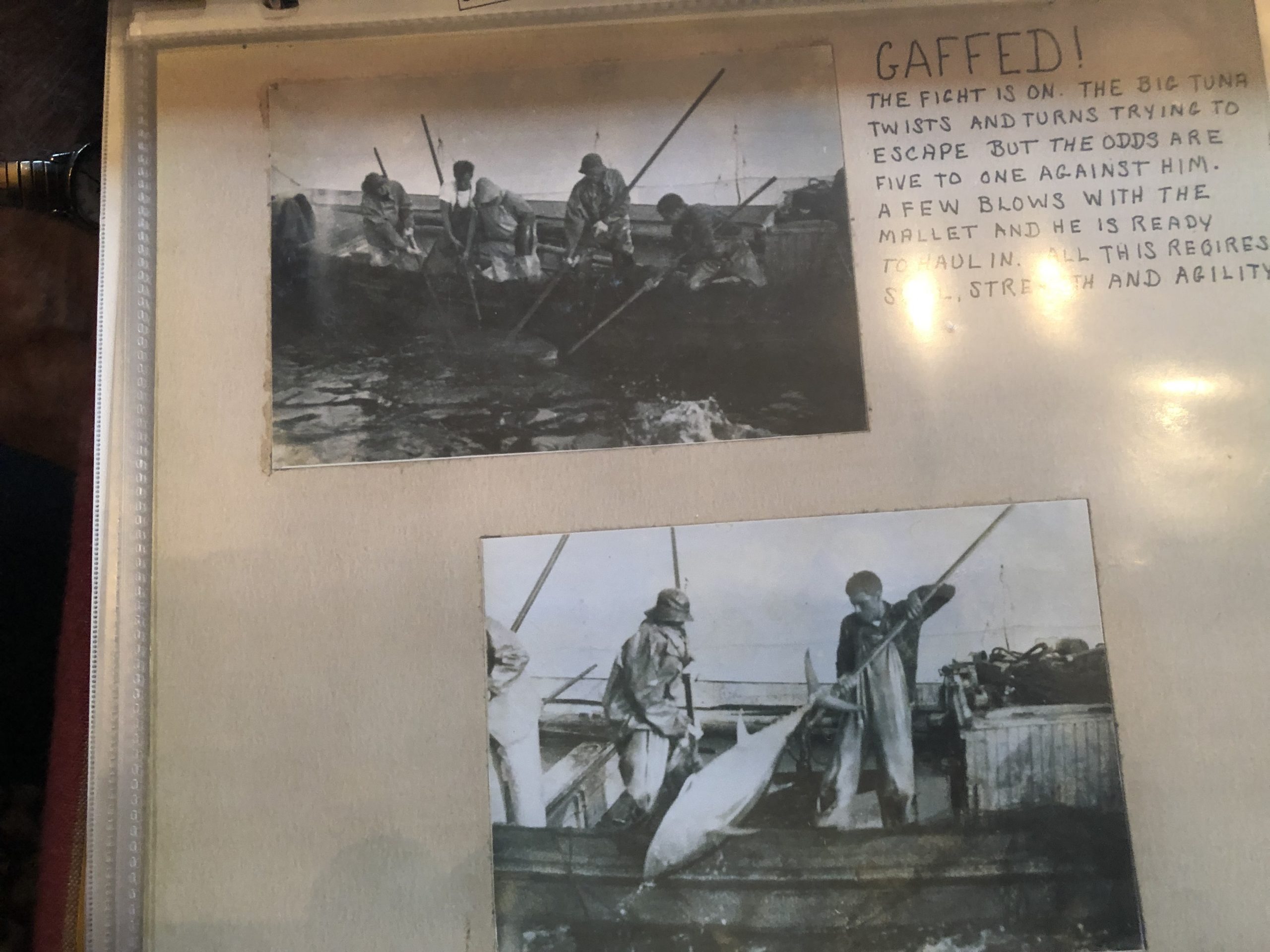
Jim ‘Butch’ Ellis is best known as our village blacksmith, but he is also a seasoned fisherman with years of experience working in and out of Barnstable harbor.
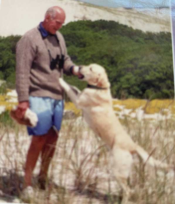
Ned Handy’s lifelong devotion to Barnstable Harbor—from clamming and fishing in his youth to sailing, birdwatching, and leading family adventures—defined both his way of life and the enduring legacy he passed down through generations.
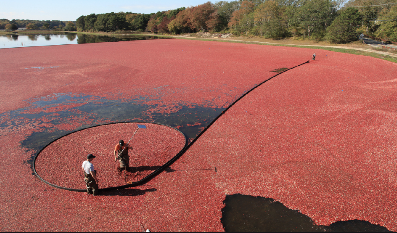
“Braley’s,” the sweeping dunes along Sandy Neck, preserves the legacy of Braley Jenkins, a 19th-century farmer whose successful cranberry cultivation helped shape Barnstable Harbor’s history and introduced Cape Cod cranberries to a wider world.
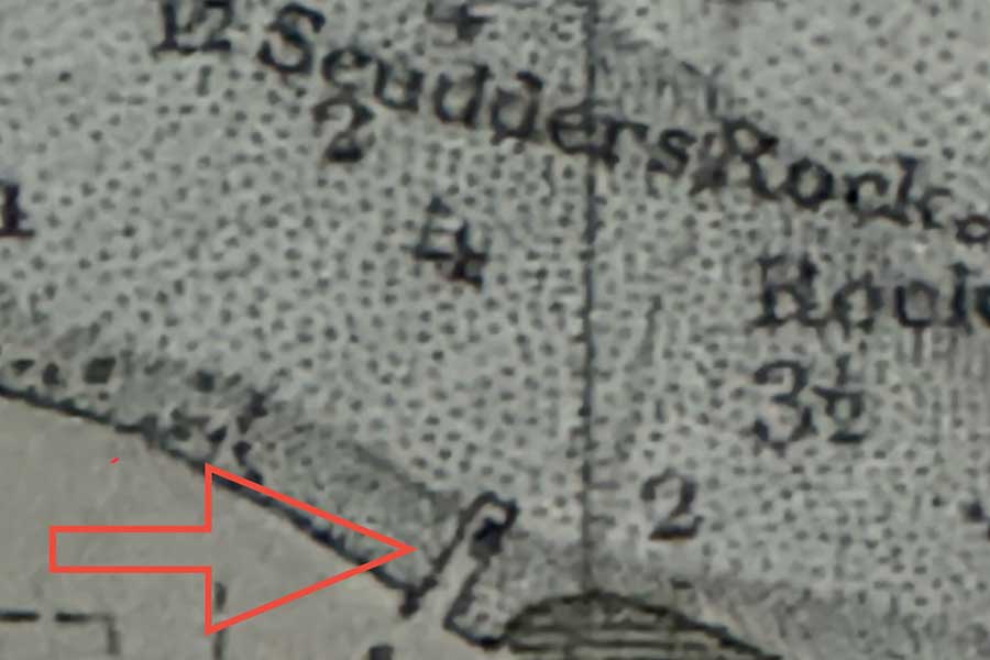
Scudder’s Wharf grew from a modest 1820s sail repair shop into a vital hub of maritime life in Barnstable Harbor, supporting generations of sea captains, fishermen, and trade as the village evolved from sail to steam.
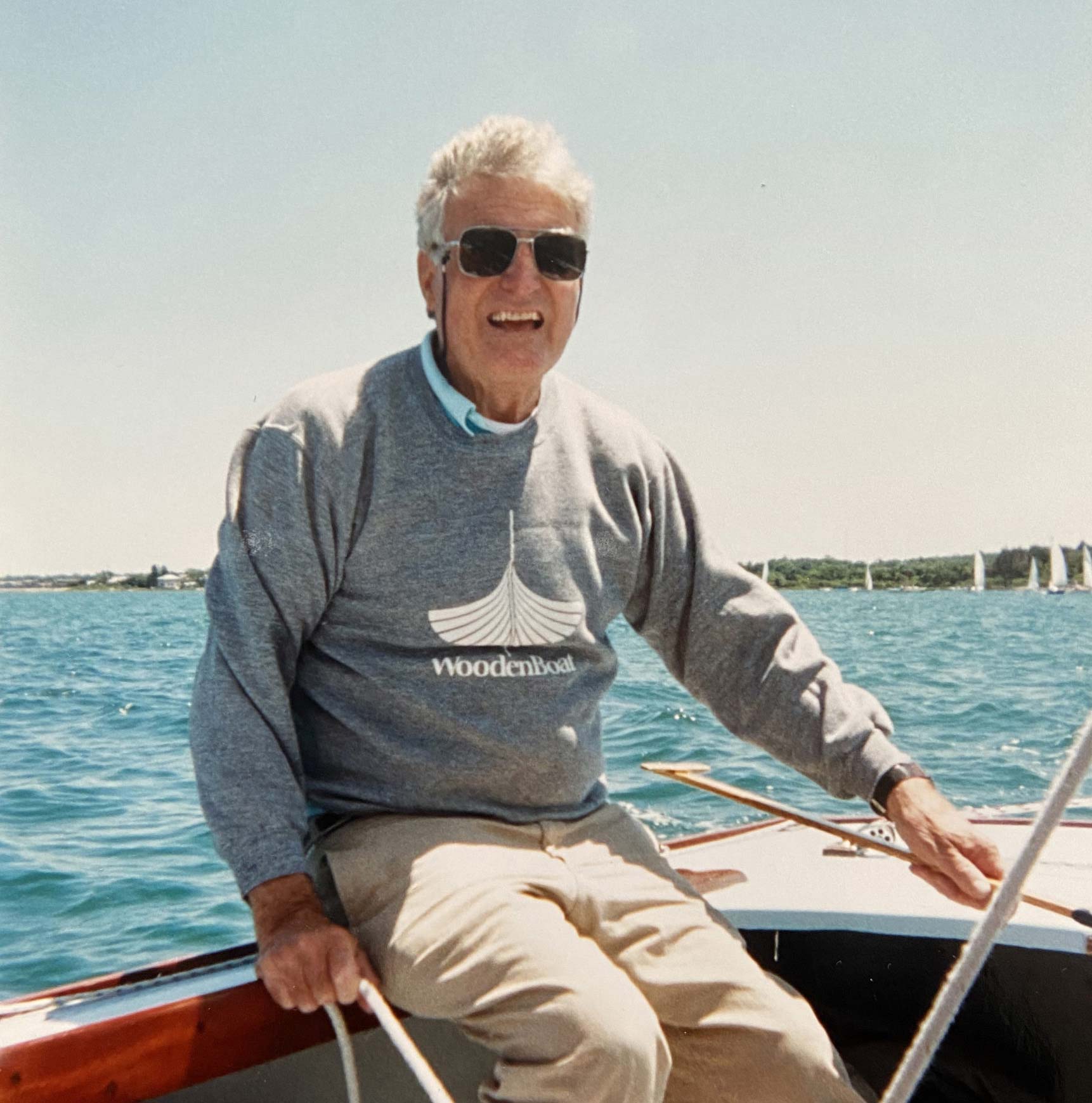
Bunny Howard was a defining figure in Barnstable Harbor’s sailing culture—an accomplished sailor, boatbuilder, and teacher whose lifelong dedication to wooden boats and Beetle Cats shaped generations on the water.
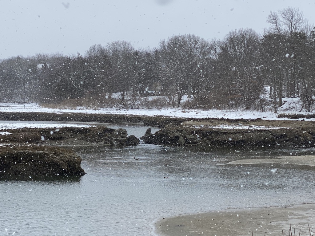
David Loring Crocker, a lifelong resident of Mill Way, reflected a deep connection to Barnstable’s past, preserving the history and proper naming of the road that once led to Blish’s tidewater grist mill.